Your whole right-of-way, documented edge to edge from the air.
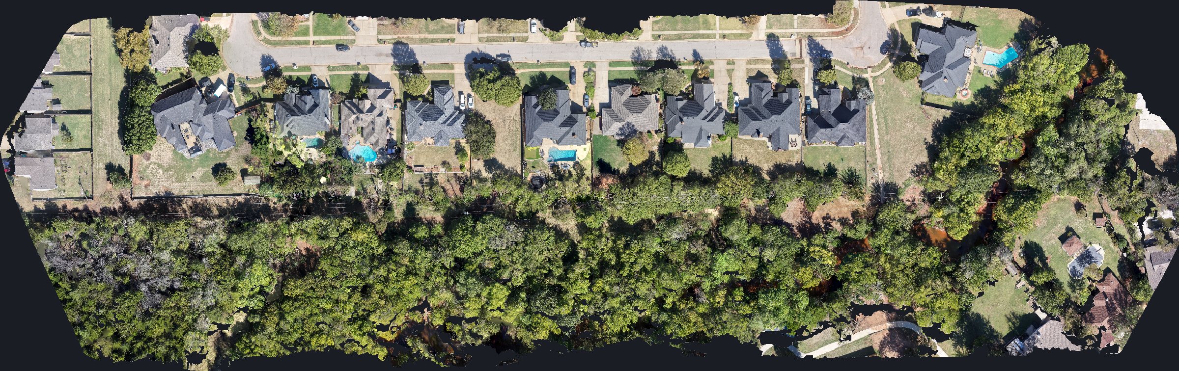
I fly transmission and distribution corridors and deliver a georeferenced record of the full easement: every structure, span and access point, as it looks on the day of the flight. Your land, engineering and vegetation teams all work from the same current picture.

Licensed and vetted
FAA Part 107 certified remote pilot since 2017 and a Droners.io Approved Pilot. My aerial work has been licensed for CNBC's The Deed and ran as a lead image in National Geographic Travel.
What you get
Full-easement orthomosaic
High-resolution, georeferenced imagery that covers the complete easement width, not just the centerline.
3D corridor model
A model of structures, terrain and vegetation along the line that you can review from a desk.
GIS-ready layers
GeoTIFF imagery and KML/KMZ or shapefile overlays that drop into your existing system.
Structure photo sets
Organized photos of each structure, tied to location, for your records.
I spent 2017 through 2020 as a Lead Record Specialist on transmission line right-of-way work at Coates Field Service, so I know what a land department actually needs in the file. That's why I document the full easement consistently, mile after mile, and hand it over organized the way your team will use it.
My job is the record itself. You get clear, complete, current imagery and data of the corridor, and your team makes the calls about what's in it. The ROW corridor in the showcase shows the kind of deliverable you'll get, in interactive 3D.
Built for
- Electric co-ops and utilities
- ROW agents and land departments
- Engineering and design firms
- Vegetation management planners
- Pipeline and midstream corridor owners
How it works
- Send me the line segment, a KMZ or the structure numbers, and the easement width.
- I plan the flights around airspace, access and weather, and we settle scope and cost up front.
- You get the orthomosaic, model, layers and photo sets, organized by segment.
ROW corridor documentation is quoted per job, based on the line miles, easement width and deliverables you need.
If conditions aren't safe to fly, I'll reschedule instead of pushing it.
Get on the schedule
I'm based in Edmond and fly Oklahoma City, Edmond and across Oklahoma. Tell me the site and what you need, and I'll get back to you the same day.
Call or text 405-883-FIRE (3473) hello@shoutfire.com