Drone mapping services
Topo maps and right-of-way corridors, flown and delivered.
Two services you can book today. Spin the 3D models, read the contours, and see exactly what lands in your inbox after a flight.
Service 1 · Builders, engineers, HOAs, cities
Topographic Mapping & Pond / Stockpile Volume
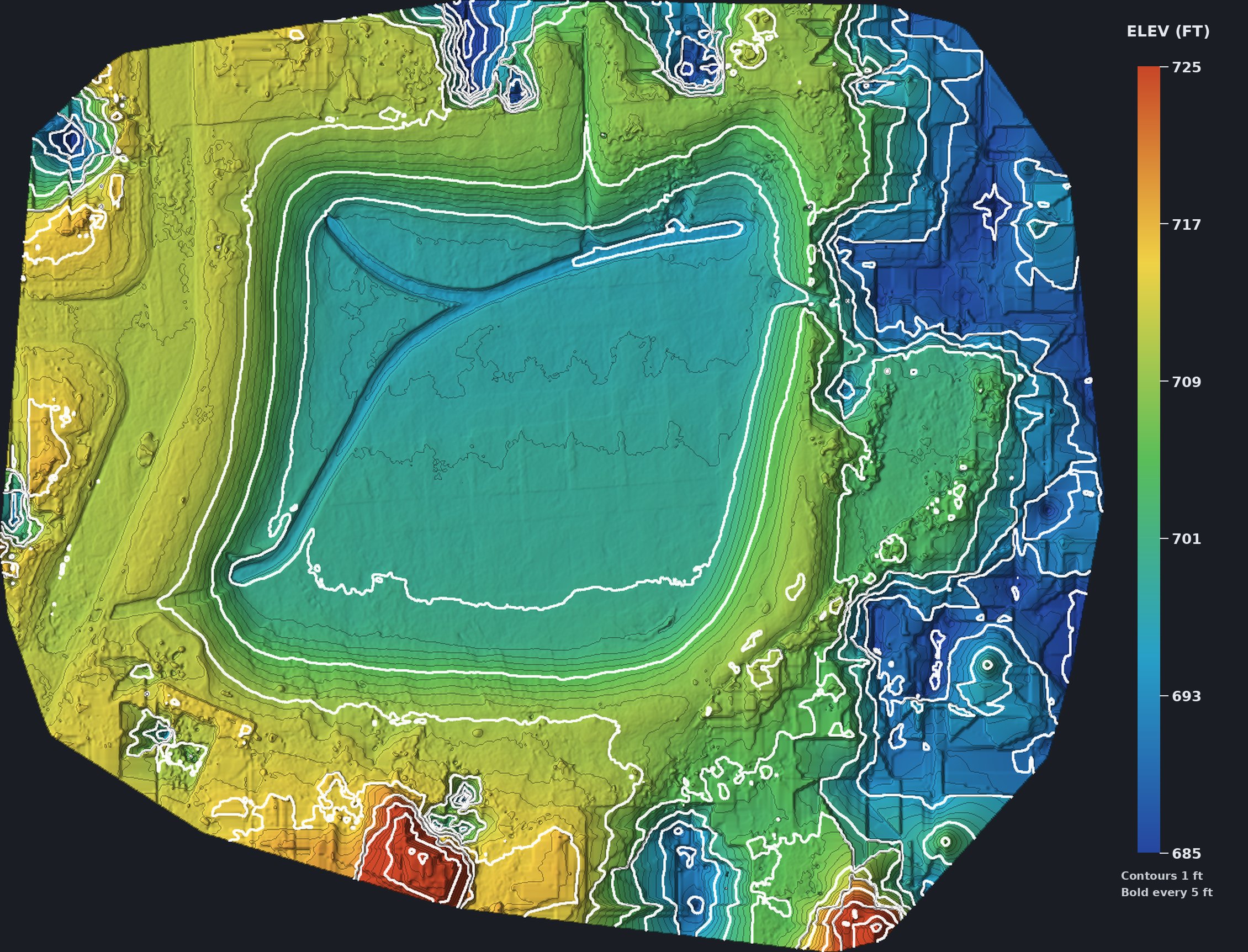
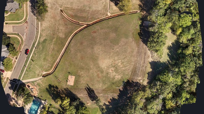
Interactive 3D model of a 5.5-acre stormwater detention basin and surrounding lots.
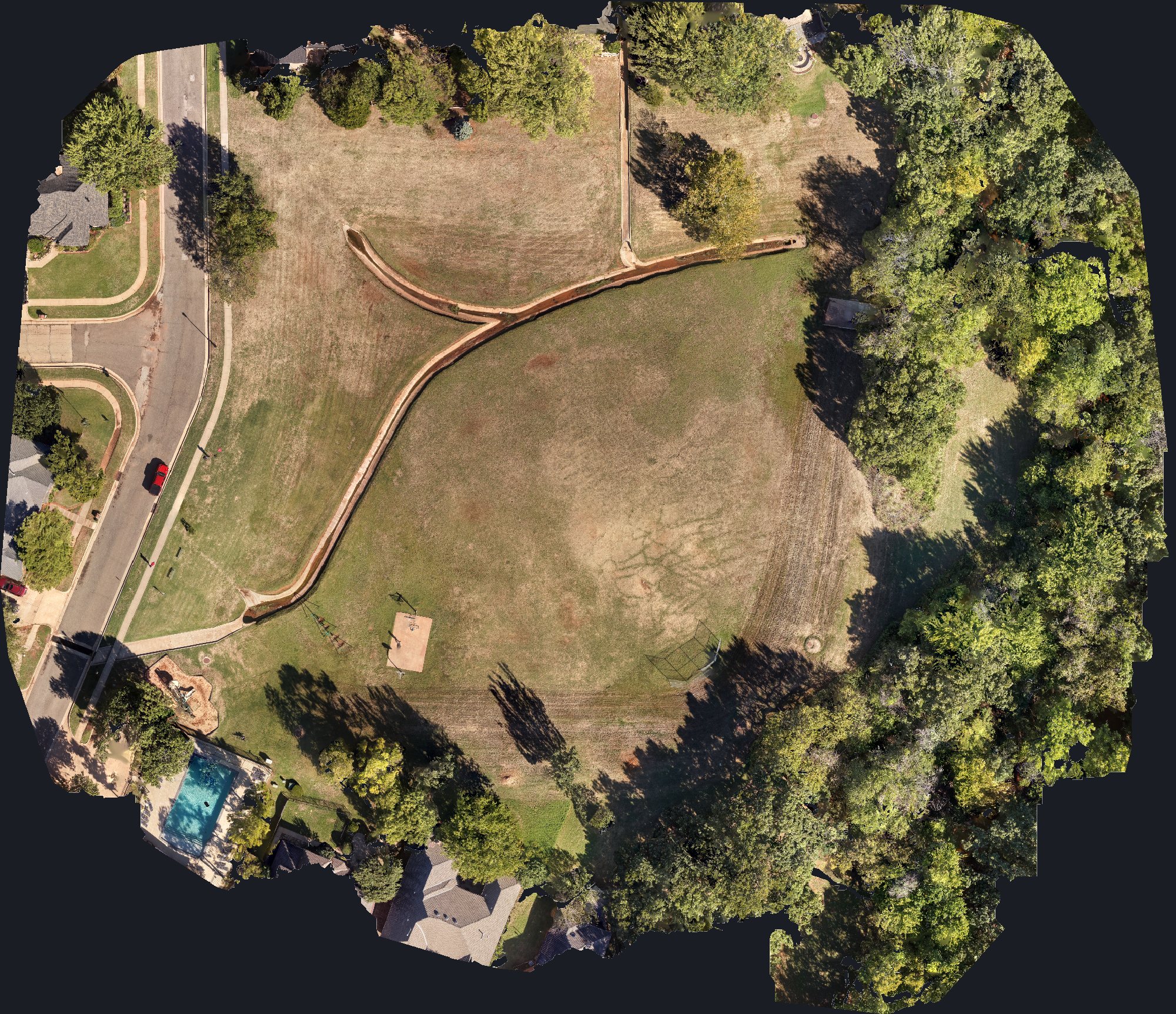
- 5.5 acmapped
- 40 ftrelief
- 1 ftcontours
- 5 cmdetail
Check detention pond capacity, plan grading and drainage, measure cut and fill, and track stockpile volumes without walking the site with a rod. One flight gives you the surface; we turn it into the files your engineer or GIS team already uses.
What you get
- GeoTIFF orthophotoGeoreferenced, 5 cm per pixel, drops straight into CAD or GIS.
- Elevation model & contoursDSM and bare-earth DTM GeoTIFFs plus contour lines at the interval you need.
- Volume reportPond, basin or stockpile volume, cut and fill against a base surface.
- 3D model & web viewerA textured model you can spin, plus a link to share with your team.
- Builders
- Civil engineers
- HOAs
- Cities & counties
- Excavation & dirt work
Service 2 · Utilities and electric co-ops
Transmission & Distribution ROW Corridor Documentation
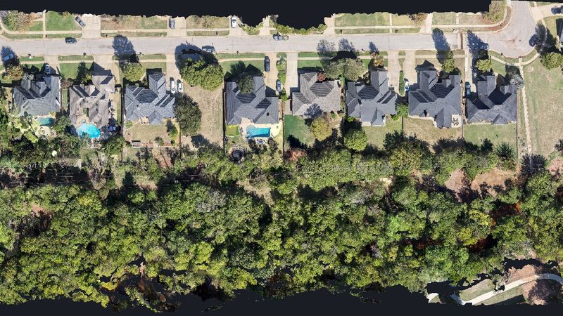
Interactive 3D model of about 1,600 ft of distribution line easement behind a row of homes.
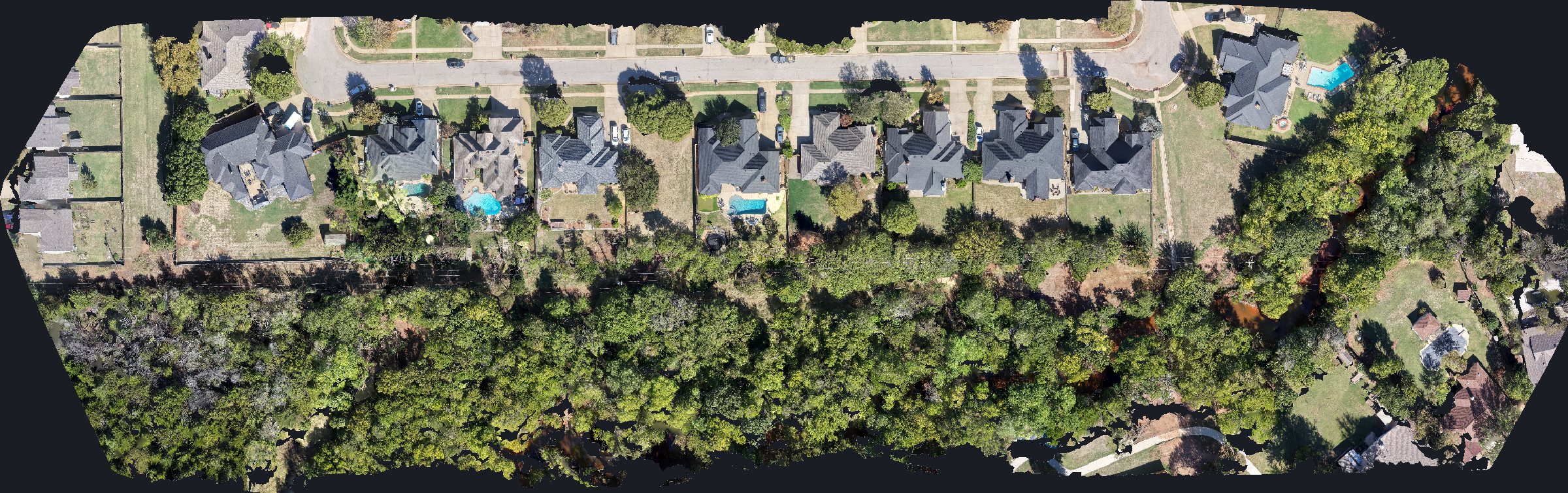
- 1,600 ftcorridor
- 5.8 acmapped
- 143photos
- 5 cmdetail
Every foot of the easement, edge to edge, in one record your team can review from the office. Structures, fences, pools, outbuildings and tree canopy near the conductors are all visible and measurable. We capture and document; your engineers and ROW agents make the calls.
What you get
- GeoTIFF orthophotoGeoreferenced corridor map at 5 cm per pixel, ready to overlay on your line data.
- Elevation modelDSM and DTM GeoTIFFs for canopy height and clearance review.
- 3D model & web viewerSpin and measure the corridor in a browser, no software to install.
- GIS layersPhoto locations and corridor extents as layers tied to your spans and structures.
- Electric co-ops
- Utilities
- Vegetation management
- ROW & land agents
- Pipeline operators
Book a flight
Send the site address or line segment and what you need delivered. FAA Part 107 certified, flown from Edmond across Oklahoma.
Call or text 405-883-FIRE (3473) stephen@shoutfire.com